Fort Erie
From WhereToday
Q1099589
Q1099589
Old Fort Erie, also known as Fort Erie, or the Fort Erie National Historic Site of Canada, was the first British fort to be constructed as part of a network developed after the Seven Years' War was concluded by the Treaty of Paris (1763), at which time France ceded its territories east of the Mississippi River to Great Britain. The installation is located on the southern edge of what is now the Town of Fort Erie, Ontario, directly across the Niagara River from Buffalo, New York, United States.
1764 Website,
Wikimedia, Wikidata
Olde Fort Erie; The Old Fort
Canada, 
-
Location: 42.8933, -78.9238, KML, Cluster Map, Maps,
1764-01-01T00:00:00Z
1764-01-01T00:00:00Z
1764 Fort Erie
1814-01-01T00:00:00Z
1814-01-01T00:00:00Z
Siege of Fort Erie
{"selectable":false,"showCurrentTime":false,"width":"100%","zoomMin":100000000000}
 Ruins of Fort Erie (I0026416)
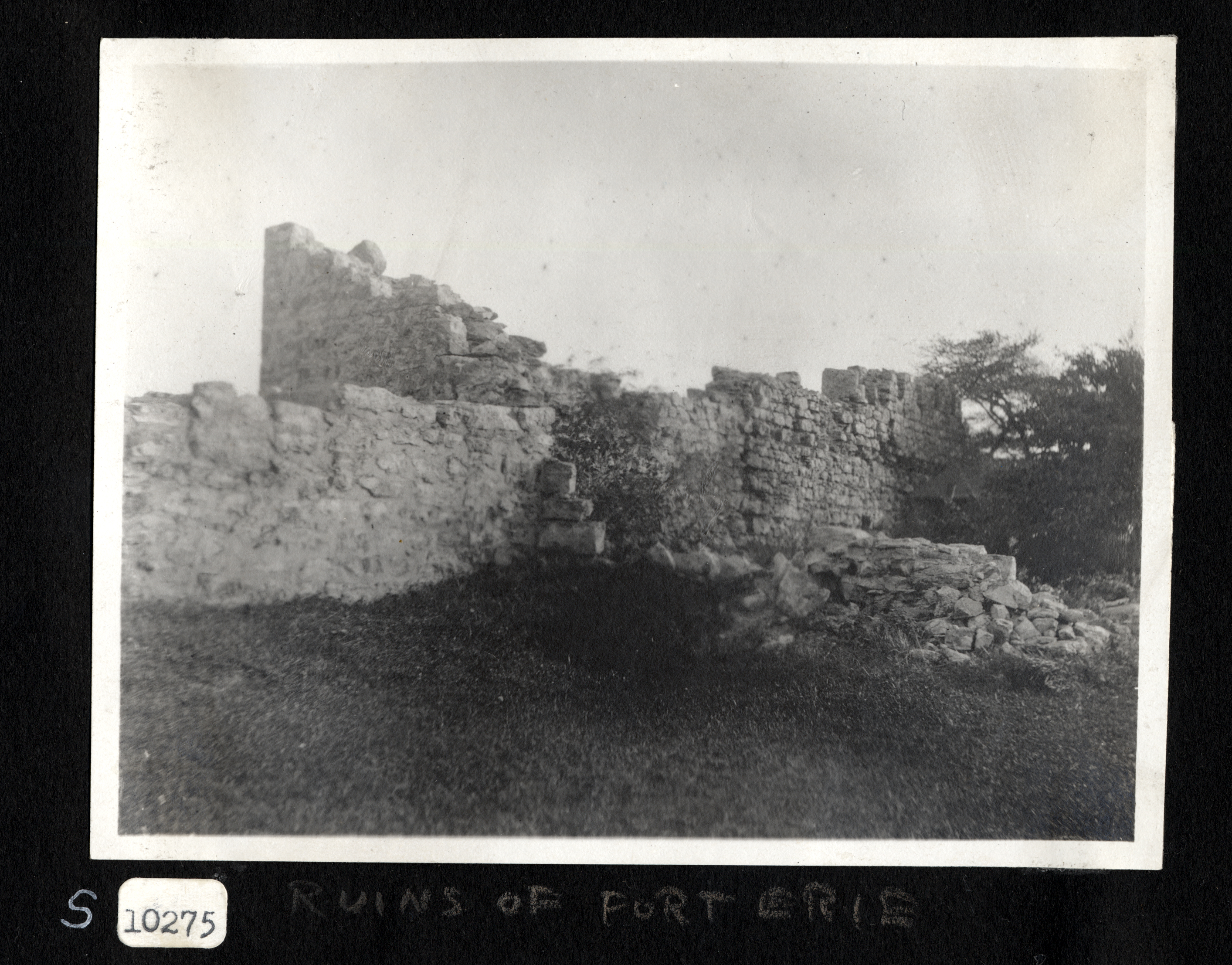 Ruins of Fort Erie (I0040546)
 Old Fort Erie - Lossing
 Ruins of Fort Erie, Ontario (I0016663)
 Ruins of Fort Erie (I0026417)
 Cattle grazing near the ruins of Fort Erie (I0026414)Ruins of Fort Erie (I0026416)Ruins of Fort Erie (I0040546)Old Fort Erie - LossingRuins of Fort Erie, Ontario (I0016663)
| Type | Subtype | Date | Description | Notes | Source |
|---|---|---|---|---|---|
| commons | image | Ruins of Fort Erie (I0026416) | Commons | ||
| commons | image | Ruins of Fort Erie (I0040546) | Commons | ||
| commons | image | Old Fort Erie - Lossing | Commons | ||
| commons | image | Ruins of Fort Erie, Ontario (I0016663) | Commons | ||
| commons | image | Ruins of Fort Erie (I0026417) | Commons | ||
| commons | image | Cattle grazing near the ruins of Fort Erie (I0026414) | Commons | ||
| commons | image | Ruins of Fort Erie (I0026416) | Commons | ||
| commons | image | Ruins of Fort Erie (I0040546) | Commons | ||
| commons | image | Old Fort Erie - Lossing | Commons | ||
| commons | image | Ruins of Fort Erie, Ontario (I0016663) | Commons | ||
.jpg)
.jpg)
.jpg)
.jpg)
.jpg)