Lancashire
From WhereToday
Q67311452
historic county of England

 Hand-drawn map of Lancashire by Christopher Saxton from 1577
 A large crowd celebrates one of the Eccles Wakes, an annual festival, in 1822
 Rivington Pike Tower near Horwich in North West England
 Winter Hill, Rivington Pike
 Lancashire: Robert Morden (1695)
 Blacksmith working at the Eccleston village smithy with County Library visible in background.
 Lancashire Junior League as at 9 May 1890, from the Leigh Chronicle
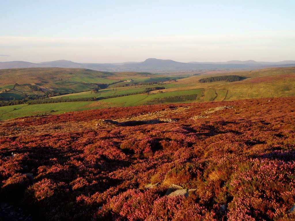 Clougha heather
 Flag wall Hill End Lane
 Remains of drystone wall by the Rossendale Way
- The Mapping of Lancashire by William Smith - journal article; published in 2015, Q1860
- Two hoards of late medieval English gold coins - scholarly article published in 2017
| Type | Subtype | Date | Description | Notes | Source |
|---|---|---|---|---|---|
| commons | image | Hand-drawn map of Lancashire by Christopher Saxton from 1577 | Commons | ||
| commons | image | A large crowd celebrates one of the Eccles Wakes, an annual festival, in 1822 | Commons | ||
| commons | image | Rivington Pike Tower near Horwich in North West England | Commons | ||
| commons | image | Winter Hill, Rivington Pike | Commons | ||
| commons | image | Lancashire: Robert Morden (1695) | Commons | ||
| commons | image | Blacksmith working at the Eccleston village smithy with County Library visible in background. | Commons | ||
| commons | image | Lancashire Junior League as at 9 May 1890, from the Leigh Chronicle | Commons | ||
| commons | image | Clougha heather | Commons | ||
| commons | image | Flag wall Hill End Lane | Commons | ||
| commons | image | Remains of drystone wall by the Rossendale Way | Commons | ||
.jpg)