Scotland-2016-Aerial-Borthwick Castle.jpg
From WhereToday
File:Scotland-2016-Aerial-Borthwick Castle.jpg

Original file (4,571 × 3,047 pixels, file size: 8.19 MB, MIME type: image/jpeg)
This file is from Wikimedia Commons and may be used by other projects. The description on its file description page there is shown below.
Summary
DescriptionScotland-2016-Aerial-Borthwick Castle.jpg |
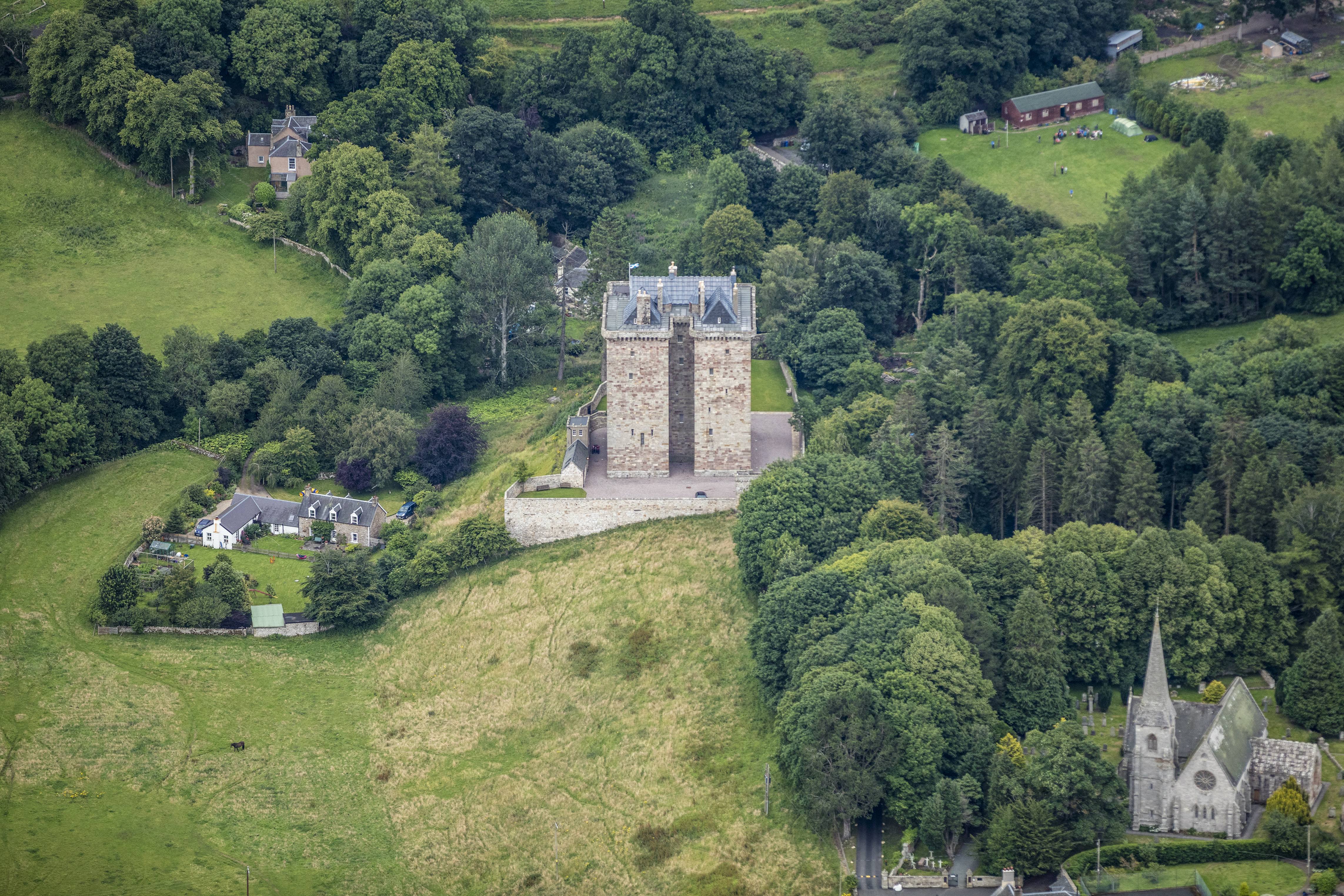
English: Borthwick Castle
|
|||
Date | ||||
Source | Own work | |||
Author | Godot13 | |||
Attribution (required by the licence) InfoField | Andrew Shiva / Wikipedia / | |||
InfoField | Andrew Shiva / Wikipedia |
Camera location | 55° 49′ 28.25″ N, 3° 01′ 57.45″ W ![]() | View this and other nearby images on: OpenStreetMap | ![]() |
---|
Licensing


- You are free:
- to share – to copy, distribute and transmit the work
- to remix – to adapt the work
- Under the following conditions:
- attribution – You must give appropriate credit, provide a link to the licence, and indicate if changes were made. You may do so in any reasonable manner, but not in any way that suggests the licensor endorses you or your use.
- share alike – If you remix, transform, or build upon the material, you must distribute your contributions under the same or compatible licence as the original.
![]() |
The copyright holder of this file, Andrew Shiva, allows anyone to use it for any purpose, provided that the copyright holder is properly attributed. Redistribution, derivative work, commercial use, and all other use is permitted. |
Attribution:
Use or reproduction of this image outside of Wikipedia must give the original photographer (Andrew Shiva) credit. Although not required, it would be appreciated if a message was left here indicating where this image was being used. Attribution |
![]() |
This image was uploaded as part of Wiki Loves Monuments 2016.
Afrikaans ∙ Alemannisch ∙ العربية ∙ جازايرية ∙ azərbaycanca ∙ Bikol Central ∙ беларуская ∙ беларуская (тарашкевіца) ∙ български ∙ বাংলা ∙ brezhoneg ∙ bosanski ∙ català ∙ čeština ∙ Cymraeg ∙ dansk ∙ Deutsch ∙ Zazaki ∙ Ελληνικά ∙ English ∙ Esperanto ∙ español ∙ eesti ∙ euskara ∙ فارسی ∙ suomi ∙ français ∙ Frysk ∙ Gaeilge ∙ galego ∙ עברית ∙ हिन्दी ∙ hrvatski ∙ magyar ∙ հայերեն ∙ Bahasa Indonesia ∙ Ido ∙ italiano ∙ 日本語 ∙ ქართული ∙ 한국어 ∙ кыргызча ∙ Lëtzebuergesch ∙ latviešu ∙ Malagasy ∙ македонски ∙ മലയാളം ∙ Bahasa Melayu ∙ Malti ∙ norsk bokmål ∙ नेपाली ∙ Nederlands ∙ norsk nynorsk ∙ norsk ∙ polski ∙ português ∙ português do Brasil ∙ română ∙ русский ∙ sicilianu ∙ davvisámegiella ∙ slovenčina ∙ slovenščina ∙ shqip ∙ српски / srpski ∙ svenska ∙ ไทย ∙ Tagalog ∙ Türkçe ∙ українська ∙ اردو ∙ oʻzbekcha / ўзбекча ∙ Yorùbá ∙ 中文 ∙ 中文(中国大陆) ∙ 中文(简体) ∙ 中文(繁體) ∙ 中文(香港) ∙ 中文(臺灣) ∙ +/− |
![]() |
Captions
Items portrayed in this file
depicts
4 August 2016
55°49'28.254"N, 3°1'57.450"W
500
0.0015625 second
2.8
200 millimetre
File history
Click on a date/time to view the file as it appeared at that time.
Date/Time | Thumbnail | Dimensions | User | Comment | |
---|---|---|---|---|---|
current | 00:09, 29 September 2016 | ![]() | 4,571 × 3,047 (8.19 MB) | wikimediacommons>Godot13 | User created page with UploadWizard |
File usage
There are no pages that use this file.
Metadata
This file contains additional information, probably added from the digital camera or scanner used to create or digitise it.
If the file has been modified from its original state, some details may not fully reflect the modified file.
Camera manufacturer | Canon |
---|---|
Camera model | Canon EOS 5DS |
Exposure time | 1/640 sec (0.0015625) |
F Number | f/2.8 |
ISO speed rating | 500 |
Date and time of data generation | 18:31, 4 August 2016 |
Lens focal length | 200 mm |
Latitude | 55° 49′ 28.25″ N |
Longitude | 3° 1′ 57.45″ W |
Altitude | 718.6 metres above sea level |
Orientation | Normal |
Horizontal resolution | 300 dpi |
Vertical resolution | 300 dpi |
Software used | Adobe Photoshop CS6 (Windows) |
File change date and time | 20:06, 28 September 2016 |
Exposure Programme | Shutter priority |
Exif version | 2.3 |
Date and time of digitising | 18:31, 4 August 2016 |
APEX shutter speed | 9.321928 |
APEX aperture | 2.970854 |
APEX exposure bias | 0 |
Maximum land aperture | 3 APEX (f/2.83) |
Metering mode | Pattern |
Flash | Flash did not fire |
DateTimeOriginal subseconds | 87 |
Colour space | Uncalibrated |
Focal plane X resolution | 2,413.3333435059 |
Focal plane Y resolution | 2,413.3333435059 |
Focal plane resolution unit | 3 |
Custom image processing | Normal process |
Exposure mode | Auto exposure |
White balance | Auto white balance |
Scene capture type | Standard |
GPS time (atomic clock) | 17:29:36.003 |
Satellites used for measurement | 12 |
Receiver status | Measurement in progress |
Measurement mode | 3-dimensional measurement |
Measurement precision | Excellent (1.7) |
Geodetic survey data used | WGS-84 |
GPS date | 4 August 2016 |
GPS tag version | 0.0.3.2 |
Serial number of camera | 062021000182 |
Lens used | EF70-200mm f/2.8L IS II USM |
Rating (out of 5) | 0 |
Date metadata was last modified | 16:06, 28 September 2016 |
Unique ID of original document | FC9B501C069E057E5D3FA4679ACE20F2 |