Durham map small.svg
From WhereToday
File:Durham map small.svg

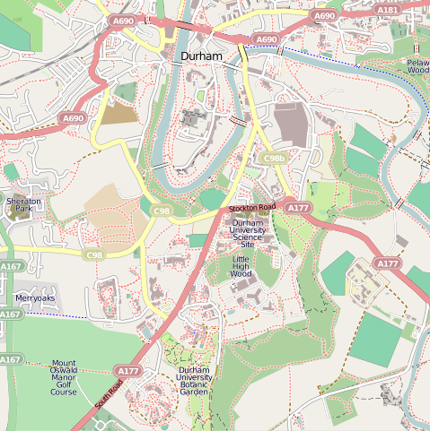
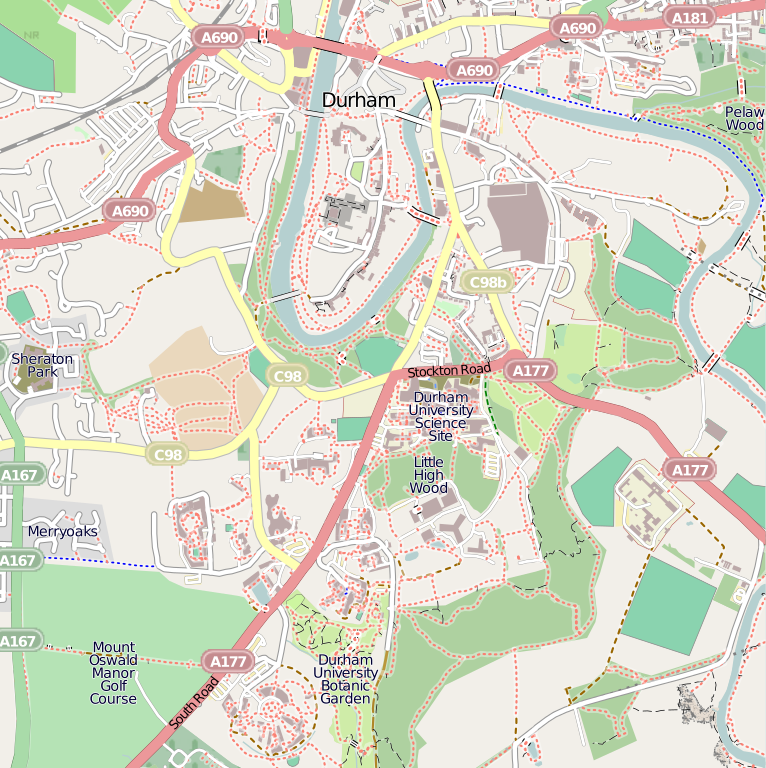
Size of this PNG preview of this SVG file: 598 × 600 pixels. Other resolutions: 239 × 240 pixels | 479 × 480 pixels | 766 × 768 pixels | 1,021 × 1,024 pixels | 2,042 × 2,048 pixels | 668 × 670 pixels.
Original file (SVG file, nominally 668 × 670 pixels, file size: 1.97 MB)
| Description | Map of Durham. Extracted from OpenStreetMap. |
| Source | OpenStreetMap |
| Author | Wereon (talk · contribs) |
| Permission (Reusing this file) |
This file is licensed under the Creative Commons Attribution-Share Alike 2.0 Generic licence.
|
File history
Click on a date/time to view the file as it appeared at that time.
| Date/Time | Thumbnail | Dimensions | User | Comment | |
|---|---|---|---|---|---|
| current | 23:26, 13 November 2010 | | 668 × 670 (1.97 MB) | wikimediacommons>Allialliw | Category:Durham Category:Durham Area Transit Authority Category:OpenStreetMap maps of the United Kingdom |
File usage
The following 2 pages use this file: