Daisen Park Aerial photograph 2007.jpg
From WhereToday
Size of this preview: 682 × 599 pixels. Other resolutions: 273 × 240 pixels | 546 × 480 pixels | 874 × 768 pixels | 1,165 × 1,024 pixels | 2,276 × 2,000 pixels.
Original file (2,276 × 2,000 pixels, file size: 5.82 MB, MIME type: image/jpeg)
Summary
| Description |
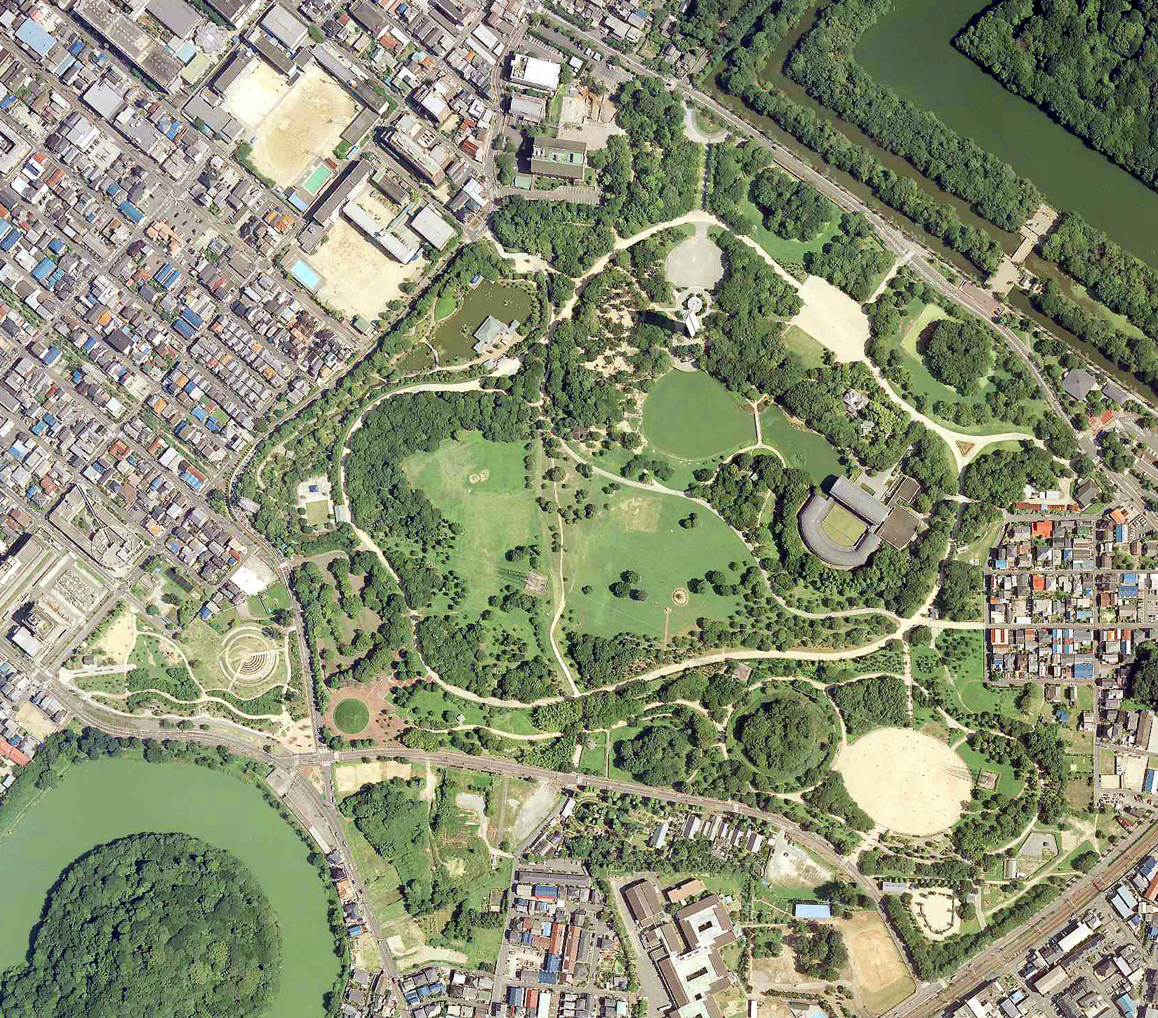
日本語: 大阪府堺市堺区にある大仙公園の航空写真。国土地理院の航空写真CKK20071-C56-10から、Naokijpが作成。 |
| Date | |
| Source | 国土交通省 国土地理院 地図・空中写真閲覧サービス(https://mapps.gsi.go.jp/maplibSearch.do#1) |
| Author | 国土地理院 |
Licensing

|
The copyright holder of this file, Ministry of Land, Infrastructure, Transport and Tourism, allows anyone to use it for any purpose, provided that the copyright holder is properly attributed. Redistribution, derivative work, commercial use, and all other use is permitted. |
Attribution:
Copyright © National Land Image Information (Color Aerial Photographs), Ministry of Land, Infrastructure, Transport and Tourism
|
File history
Click on a date/time to view the file as it appeared at that time.
| Date/Time | Thumbnail | Dimensions | User | Comment | |
|---|---|---|---|---|---|
| current | 09:38, 19 July 2022 | | 2,276 × 2,000 (5.82 MB) | wikimediacommons>Naokijp | Uploaded a work by 国土地理院 from 国土交通省 国土地理院 地図・空中写真閲覧サービス(https://mapps.gsi.go.jp/maplibSearch.do#1) with UploadWizard |
File usage
There are no pages that use this file.