Aizu Bukeyashiki Garden 03.jpg
From WhereToday

Size of this preview: 800 × 600 pixels. Other resolutions: 320 × 240 pixels | 640 × 480 pixels | 1,024 × 768 pixels | 1,280 × 960 pixels | 2,560 × 1,920 pixels | 4,608 × 3,456 pixels.
Original file (4,608 × 3,456 pixels, file size: 4.06 MB, MIME type: image/jpeg)
Summary
| Description |
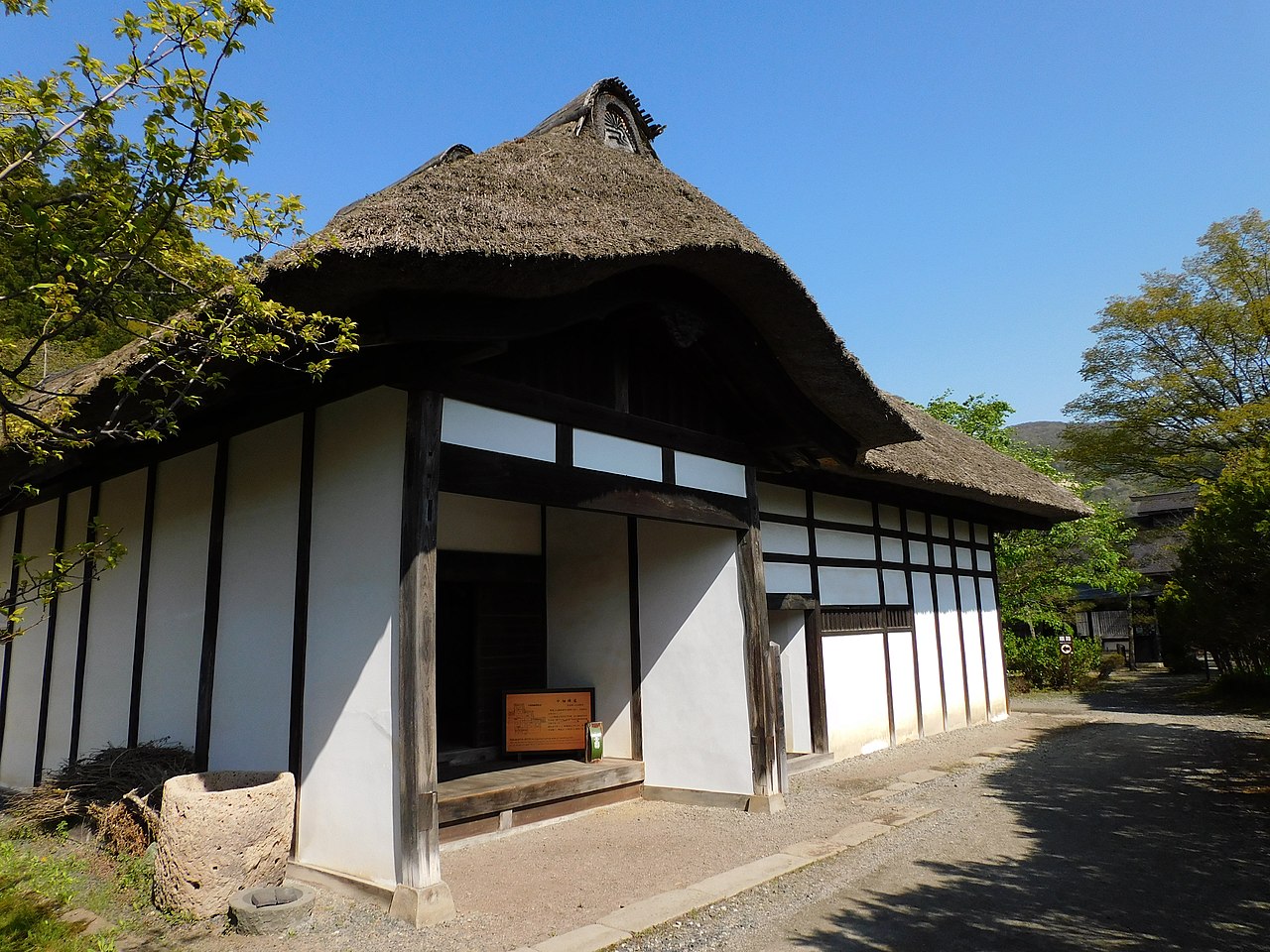
日本語: 福島県会津若松市東山町石山にある、会津武家屋敷の旧中畑陣屋。福島県指定重要文化財。
English: This is Former Nakahata Jinya in Aizu Bukeyashiki, Aizuwakamatsu, Fukushima, Japan. |
| Date | |
| Source | Own work |
| Author | Miyuki Meinaka |
| Camera location | | View this and other nearby images on: OpenStreetMap |
|---|
Licensing
I, the copyright holder of this work, hereby publish it under the following licence:
This file is licensed under the Creative Commons Attribution-Share Alike 4.0 International licence.
- You are free:
- to share – to copy, distribute and transmit the work
- to remix – to adapt the work
- Under the following conditions:
- attribution – You must give appropriate credit, provide a link to the licence, and indicate if changes were made. You may do so in any reasonable manner, but not in any way that suggests the licensor endorses you or your use.
- share alike – If you remix, transform, or build upon the material, you must distribute your contributions under the same or compatible licence as the original.
File history
Click on a date/time to view the file as it appeared at that time.
| Date/Time | Thumbnail | Dimensions | User | Comment | |
|---|---|---|---|---|---|
| current | 13:58, 15 May 2022 | | 4,608 × 3,456 (4.06 MB) | wikimediacommons>Miyuki Meinaka | Uploaded own work with UploadWizard |
File usage
There are no pages that use this file.